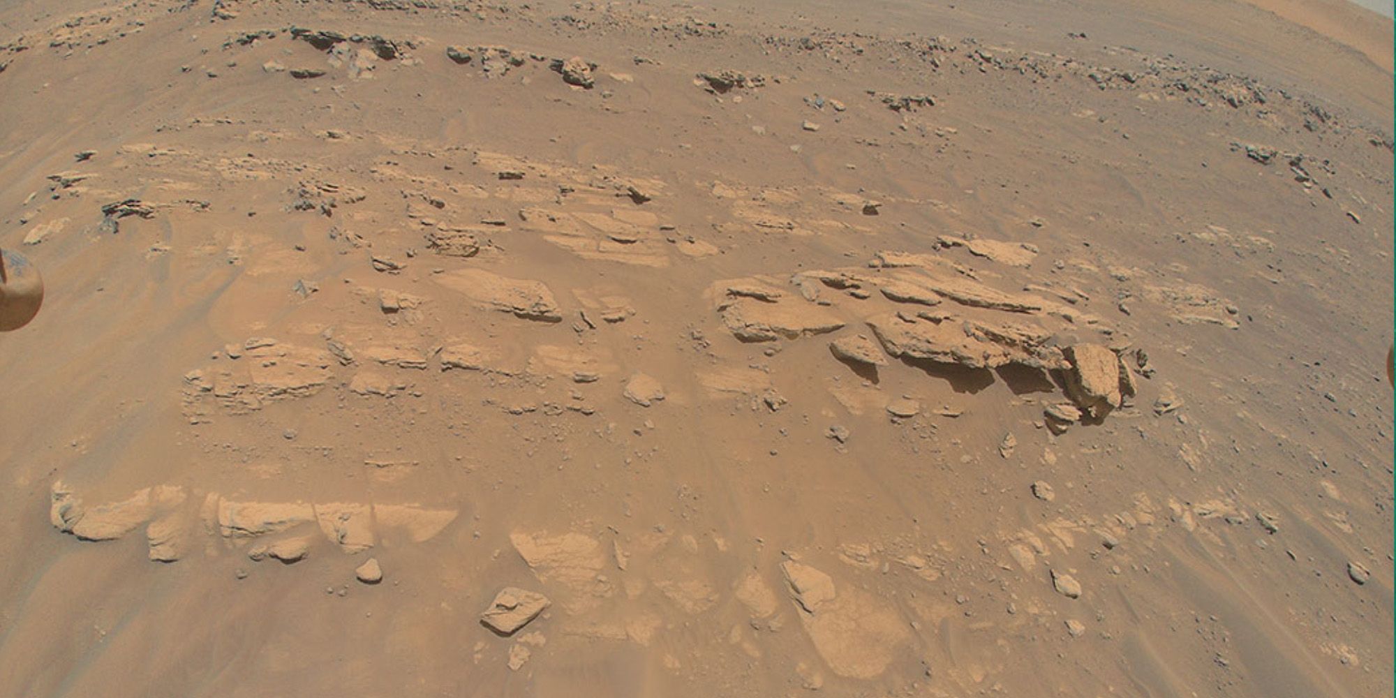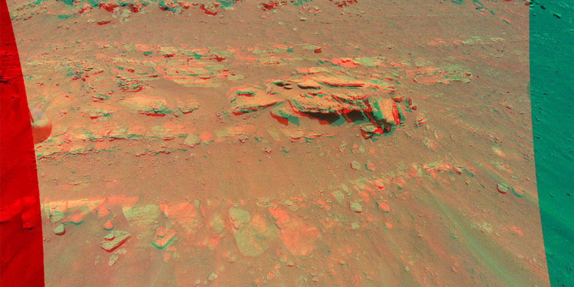
NASA's Ingenuity helicopter has sent back a 3D view of a rock-covered mound on the surface of Mars. The chopper, which hitched a ride to Mars on the Perseverance rover, touched down on the Red Planet on February 18th before being deployed and starting its mission on April 3rd. It has since flown more than one mile in the Martian atmosphere and snapped many other images of the Martian terrain which have been used by NASA scientists to map a course for the Perseverance rover.
Following the completion of its 12th successful flight a few weeks ago, NASA announced an extension of the Ingenuity helicopter's mission on Mars. According to Ingenuity's mechanical engineering team, the rotorcraft is doing better than expected largely because of the mild Martian weather over the past few months, and is expected to remain deployed for the foreseeable future.
The 3D image was snapped by the Ingenuity helicopter during its 13th flight on September 4. According to an official statement by NASA, the mound is about 33 feet wide and is part of a geological formation called "Faillefeu", which is named after a medieval abbey in the French Alps and lies in the South Seitah region of Mars' Jezero Crater. Another notable geological formation visible in the image is the 'Artuby', a ridgeline that stretches more than half a mile wide and can be seen at the top of the image. Running vertically upwards from the bottom of the image are some of the many sand ripples in South Seítah.

Also called an anaglyph, the 3D view was created by combining data from two images that were taken 16 feet apart by the color camera aboard Ingenuity. The images were snapped from an altitude of only 26 feet, which is the lowest that the Ingenuity has ever captured color images from. NASA says that the photos are best viewed with red-blue glasses, but they look spectacular even without the 3D element and give a detailed view of the terrain in the Faillefeu region. In addition to the latest 3D images, NASA also recently released a new tool called 'Explore with Perseverance' that lets users view the Mars surface in 3D.
While the Faillefeu image is yet another feather in the cap for the Ingenuity helicopter, its success hasn't come easy. The tiny chopper was once knocked dangerously off-balance while in flight but was able to eventually land safely. The problem has since been resolved and the chopper has resumed its duty of scouting for the Perseverance rover. It has also sent back many critically important images, including some that showed South Seitha could be of less interest than scientists had hoped.
Source: NASA
from ScreenRant - Feed https://ift.tt/3u8Pbzz


0 Comments